How SAR Satellite Constellations Are Becoming Climate Infrastructure From Orbit
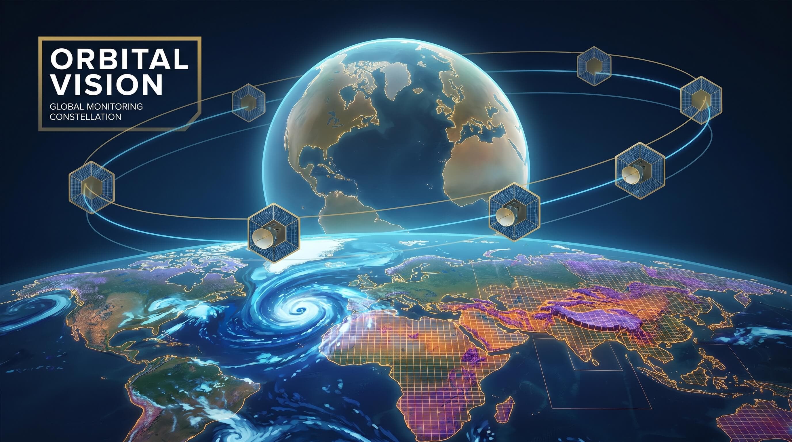
Synthetic aperture radar, usually shortened to SAR, used to sit in a fairly technical corner of the space industry. It mattered to defense analysts, remote-sensing specialists, and a small number of Earth observation buyers who needed imaging through clouds or at night. That is changing. SAR constellations are now starting to look less like specialist payloads and more like a practical infrastructure layer for climate monitoring, disaster response, industrial inspection, and resource management.
The reason is straightforward. Climate stress does not wait for clear skies, daylight, or ideal observation windows. Floods happen during storms. Landslides often follow bad weather. Methane leaks do not politely align with optical imaging schedules. Agriculture, shipping, and energy systems need consistent monitoring, not beautiful photography. SAR solves a different problem than optical Earth observation. It gives operators dependable sensing when visibility is poor, and that reliability is turning it into an operational tool rather than a scientific luxury.
Why SAR matters more now than it did a decade ago
At a technical level, SAR systems actively illuminate the Earth with radio waves and measure the returning signal. That makes them fundamentally different from optical satellites, which depend on reflected sunlight and relatively clear viewing conditions. The practical result is powerful: SAR can observe terrain, infrastructure, coastlines, vessels, ice, and flood zones day or night and through cloud cover. In a climate-constrained world, that kind of persistence is hard to overstate.
Ten years ago, the main barrier was cost. Radar satellites were expensive, data pipelines were slower, revisit rates were limited, and many buyers lacked the software tooling needed to turn radar data into operational decisions. That picture is changing for the same reason many space markets are changing. Smaller satellites, better onboard electronics, cheaper launch, and stronger cloud-native geospatial processing have lowered the cost of building and using radar systems. Just as importantly, customers have become clearer about the problems they need solved.
From images to decisions
The most important shift is that SAR is increasingly sold as analytics, not raw imagery. Insurers want faster flood delineation after extreme weather. Energy companies want to monitor remote corridors, tailings facilities, and potential ground movement around critical assets. Agricultural firms want a way to track field conditions when optical data is blocked by cloud cover during the very weeks when decisions matter. Governments want maritime awareness, land-use monitoring, and infrastructure visibility without large observational blind spots.
This changes the commercial equation. Buyers rarely wake up wanting radar data for its own sake. They want alerts, maps, probabilities, and workflows. A flood-response team wants to know which roads are cut off, which neighborhoods are submerged, and where water is still moving. A methane-monitoring program wants persistent evidence of abnormal activity near oil and gas infrastructure. A rail or pipeline operator wants warning signs of subsidence before the failure becomes expensive. SAR constellations become valuable when they feed these decisions at useful speed.
Climate infrastructure is about reliability, not branding
Calling SAR climate infrastructure is not marketing rhetoric. Infrastructure is what society relies on repeatedly under real operating conditions. The more the planet produces unstable weather, coastal stress, wildfire knock-on effects, crop volatility, and fragile logistics, the more valuable reliable orbital sensing becomes. Optical satellites remain essential, but they are not always available when conditions are worst. SAR fills that gap, and the gap itself is becoming more economically significant.
That matters for public policy as well as for private markets. Climate adaptation spending increasingly depends on monitoring. You cannot price flood risk, validate resilience projects, inspect remote infrastructure, or prioritize emergency response without regular observation. Governments can build some of that capacity themselves, but commercial SAR providers give them another option: buy persistent monitoring as a service instead of treating every sensing requirement as a sovereign satellite program.
The business model is getting sharper
The emerging winners in SAR are unlikely to be the companies that simply collect the most data. They will be the ones that turn repeatable sensing into dependable products for specific industries. That usually means tighter vertical packaging. A maritime product looks different from an agriculture product. A disaster-response workflow looks different from an asset-integrity workflow. The raw technology may be similar, but the commercial product has to fit the user’s job.
There is also a strong case for combining SAR with other sensing layers. Optical imagery, thermal measurements, weather models, AIS shipping data, and ground-based telemetry all become more valuable when radar provides persistent reference points. In that sense, SAR is not replacing other observation systems. It is becoming the stable layer that helps keep multi-sensor products useful when other inputs are intermittent.
What to watch next
The next stage of the market will be defined by revisit rate, processing speed, and software usability more than by the abstract elegance of the payload. Customers want actionable information inside operational timeframes. If radar providers can deliver that, SAR will keep moving from specialist capability to mainstream infrastructure. If they cannot, it risks staying impressive but underused.
That is why this market deserves attention beyond the space sector. SAR constellations are not just another Earth observation niche. They are becoming part of the digital infrastructure that climate adaptation, insurance, logistics, agriculture, and industrial operations increasingly depend on. In orbit, the hardware is sophisticated. On the ground, the value proposition is simple: when conditions are messy and visibility is poor, reliable sensing becomes infrastructure.